Industrial Survey
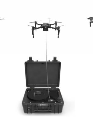
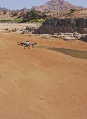
IBN FIRNAS offers advanced drone surveying and GIS mapping solutions for industries, using cutting-edge technology such as 2D mapping point cloud software, georeferenced 3D models, volumetric survey, and LiDAR technology. These powerful tools help us spot issues, monitor changes, manage events, create priorities, forecast trends, and comprehend data with unmatched precision. Our services include true-color high-density point cloud models, making us the best choice for stockpile measurements and accurate surveying for your business. We deliver effective Surveying and GIS mapping solutions that can help optimize your industry's performance.

Industrial Survey
Advanced ground school and flight Industrial Survey for UAS-Multimotored incurrent with best organizational policies procedures and content for the commercial level RPAS certification.