
Our Activites


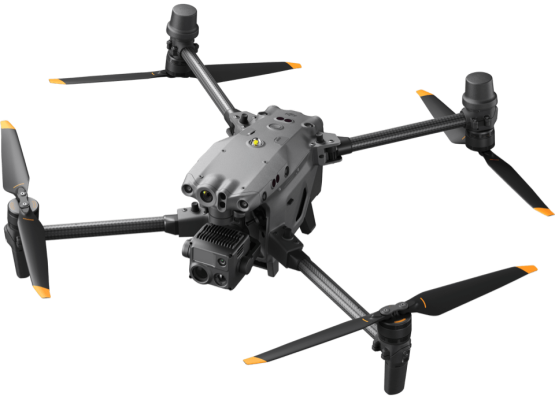
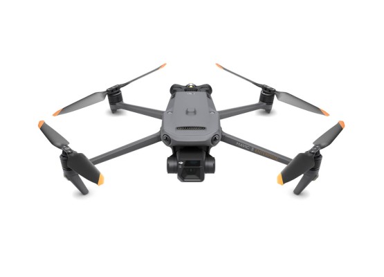
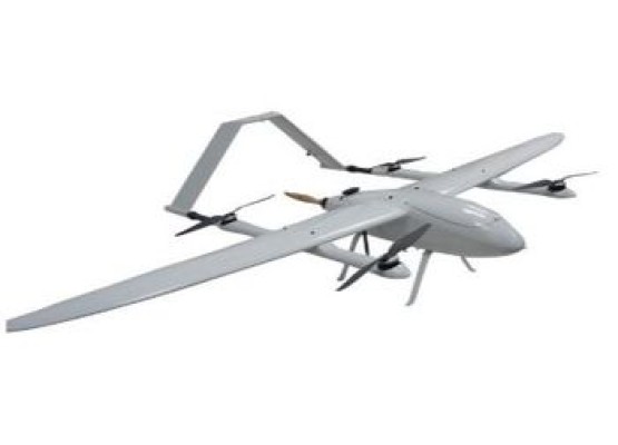
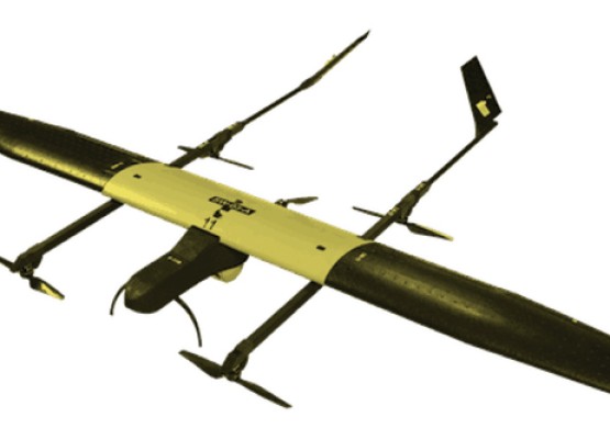
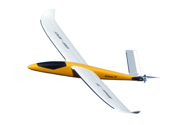
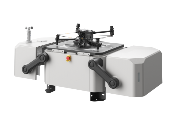
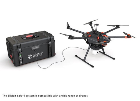
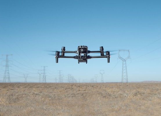
Drones

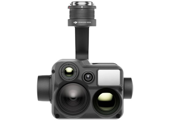
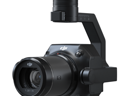
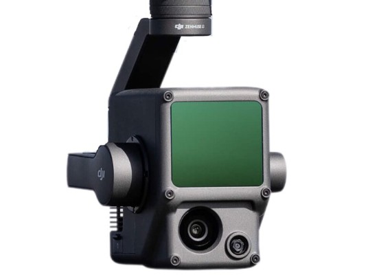
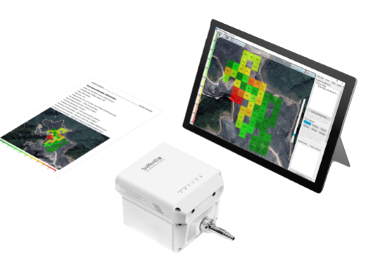
Payloads

Inspection Solution
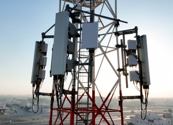
Telecom Tower Inspection
Improve safety and eliminate the need to put peopl...
Show More Get A Quote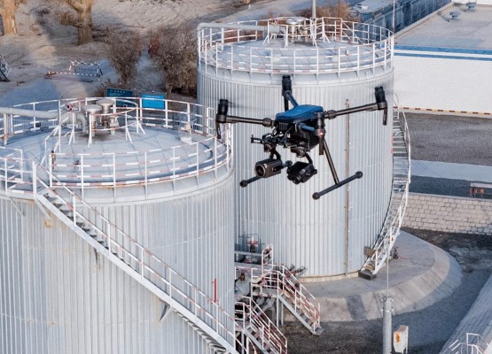
SOFTWARES
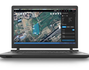
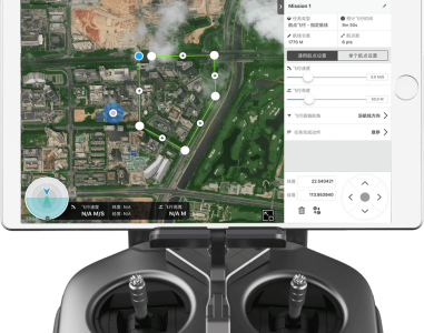
DJI GS Pro
DJI GS Pro (Ground Station Pro) is an iPad app for drone operations
Read More Get A Quote
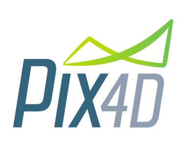
Pix4D
The only drone mapping & photogrammetry software tools with a flight app, desktop, and cloud platforms
Read More Get A Quote