Environmental
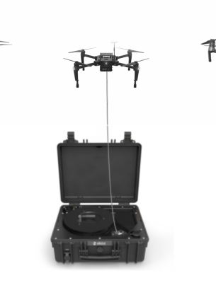
IBN FIRNAS provides advanced drone technology that can benefit a variety of environmental projects. Our DJI drones are equipped with meteorological sensors such as wind gauges, thermometers, humidity and pressure sensors to capture high-resolution images that can be used to map and survey environmental factors like land erosion, wildfire risk, invasive species, and endangered species. This data helps make informed decisions to protect the environment and its inhabitants. Moreover, drones are highly beneficial in the agricultural industry. Our drones conduct soil analysis critical to crop yields, utilize multispectral imagery to map crop sequences, evaluate grain moisture content in unharvested crops, and monitor and inspect crop growth and health. With this data, farmers can plan harvesting schedules and make informed decisions to optimize crop yields. IBN FIRNAS provides the necessary training and support to help you integrate drone technology into your environmental and agricultural operations.
Environmental
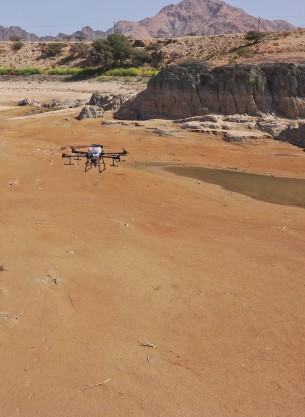
The benefits that drones offer the fields of environmental monitoring and conservation are being realized by an ever-increasing number of researchers, students and environmental engineers. Drones (or UAVs/UAS) offer quick, easy and cost-effective insights, on demand. Their application meanwhile varies widely, from glacial modelling to coastal erosion tracking, species identification and population assessments.